The 22 Mile Tully Trail
In New England there are a handful of wonderfully underrated and lesser known short long trails that are under 100 miles in length and are the perfect training hikes to get you ready for summer backpacking season. The Tully Loop Trail, a 22 mile loop hike located in Orange, Massachusetts, is a wonderful hike that can be done as an overnight and is also just the right length to tackle in a single day for those looking to hit bigger mileage.


The Logistics
The trail is blazed in yellow as well as “Tully Trail” markers. From the south, this trail starts at Tully Lake Recreation Area. Parking here is free, however if you are completing this hike as an overnight, be sure to check in with the park office to let them know your plans. Parking at the northern end of the Tully Trail and beginning your hike at Royalston Falls will require a short walk along the New England Trail to reach the Tully Trail. Parking information and directions to the trailhead can be found here.
There are two spots where camping is allowed along this trail: the Royalston Falls shelter or the Tully Lake Recreation Area. Camping is free at the Royalston Falls shelter however during the busy summer season it is recommended you reserve a spot ahead of time here. Camping at the Tully Lake Recreation Area comes with a fee and requires reservations in advance. Further information about the fees and reservations can be found here. The Tully Trail is on both public and private property so please respect landowners and refrain from camping outside of the designated campsite at the Royalston Falls shelter or at the Tully Lake Recreation Area.


Trail Description
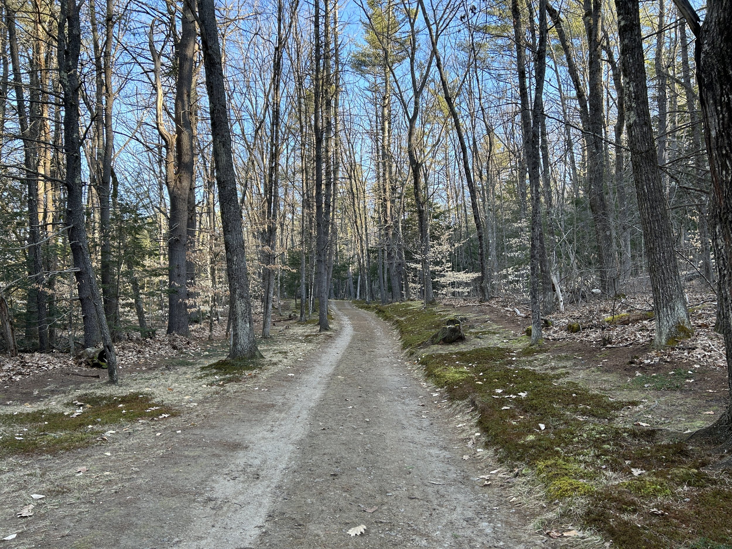
Starting at the southern terminus and heading northeast, the Tully Trail starts as a single track footpath that runs along the edges of Tully Lake before beginning the ascent to the ridgeline. Along this portion of trail you pass three separate waterfalls, through dense forest, and follow along the East Brand of Tully River before making the final push for the shelter situated north of Royalston Falls, a 45’ waterfall that plunges into a deep basin of pitch black water. From here, the trail coincides with the New England Trail. Through forested hills to wetlands, the Tully Trail meanders west then south towards the Tully Mountain Wildlife Management Area.
From the summit of this small peak you have fantastic views of the North Quabbin region of Massachusetts. Continuing south, the trail swings onto an old forest road, meanders along the western rim of Tully Lake, and eventually pops out at Tully Lake Campground right where your car is parked in the lot near the headquarters. Overall, this trail gains 4,000’ of elevation regardless of which way you hike it, and comes in at 22 miles in length. This trail is easily navigable and we recommend downloading and carrying the map which can be found here, as well as using Gaia for further navigation.


