Spring Hikes under 10 Miles in New Hampshire
Spring is here and we are more than excited about sharing some of our favorite places to hike during one of the most difficult times of year to hit the trails. Between the mud and the deteriorating monorail, spring can be a trying time to get outside at higher elevations. But have no fear, we compiled a list of 5 of the best hikes to do during the springtime where you won’t be dealing with treacherous trail conditions.
While this is by no means a comprehensive list of all the hikes you could do in spring under 10 miles, it’s a great place to start. With five individual routes all under 10 miles, we’ve got something for everyone. Whether you’re looking to hit a few summits with views and gain over 1,500’ of elevation, or you’re looking for a walk in the woods while still hitting a larger mileage goal, this list has something for everyone. So without further ado, let’s get into the recommendations!
For all of these hikes we recommend using the Appalachian Mountain Club’s guidebooks (White Mountain National Forest and Southern New Hampshire) to read about the trails prior to setting out. Another helpful and reliable online tool for navigation is Gaia GPS which is a free app you can use to build routes, record hikes, and review the hikes we have outlined in this post.
Spring Hikes Under 10 Miles
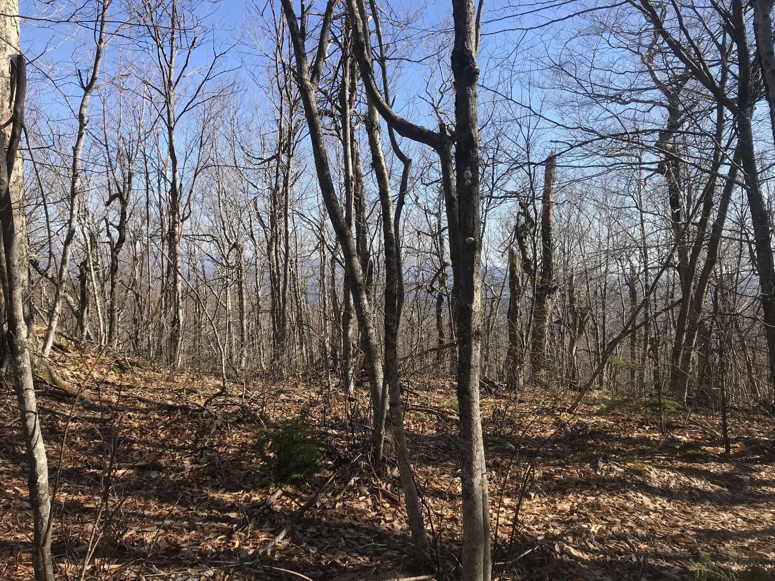
Mount Monadnock via Pumpelly Trail, Jaffrey, New Hampshire
8 Miles
1,900’ Elevation Gain
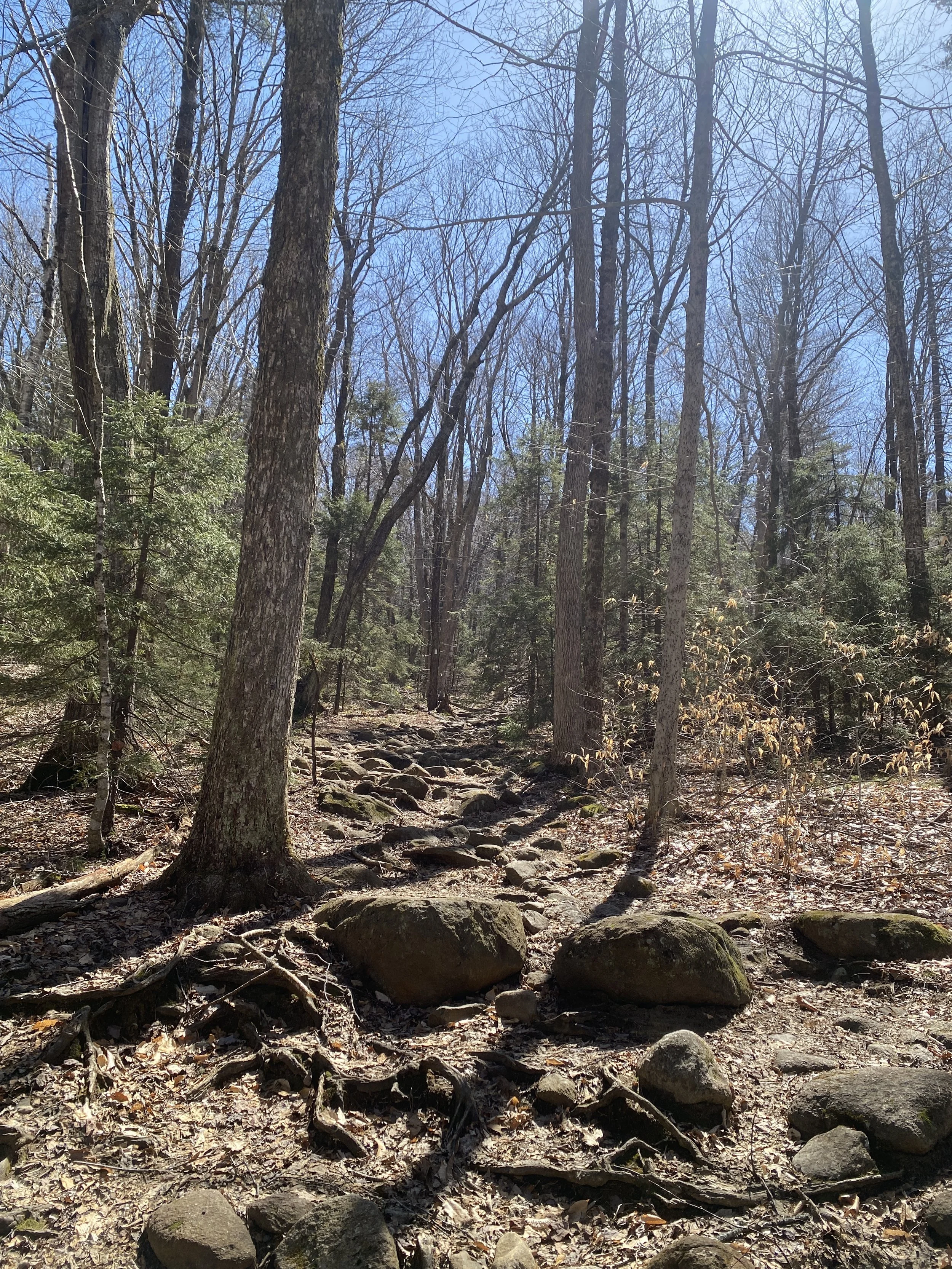
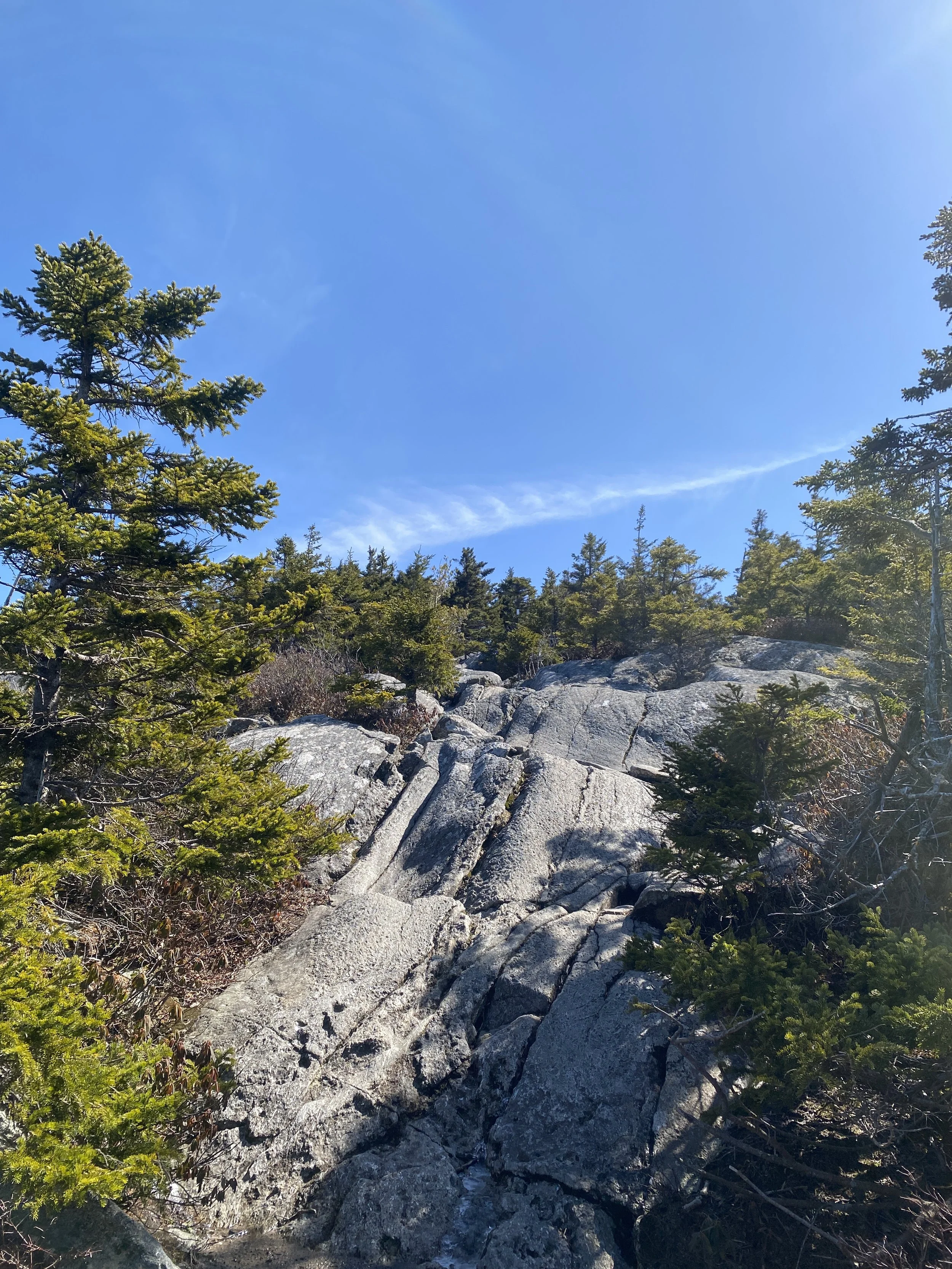
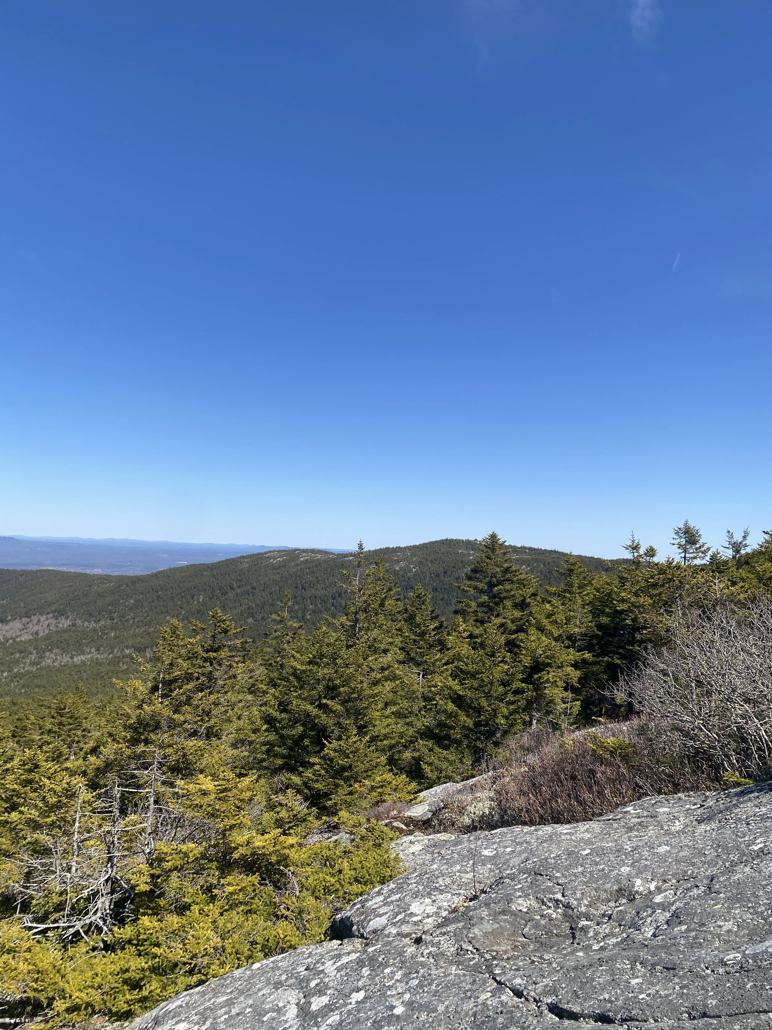
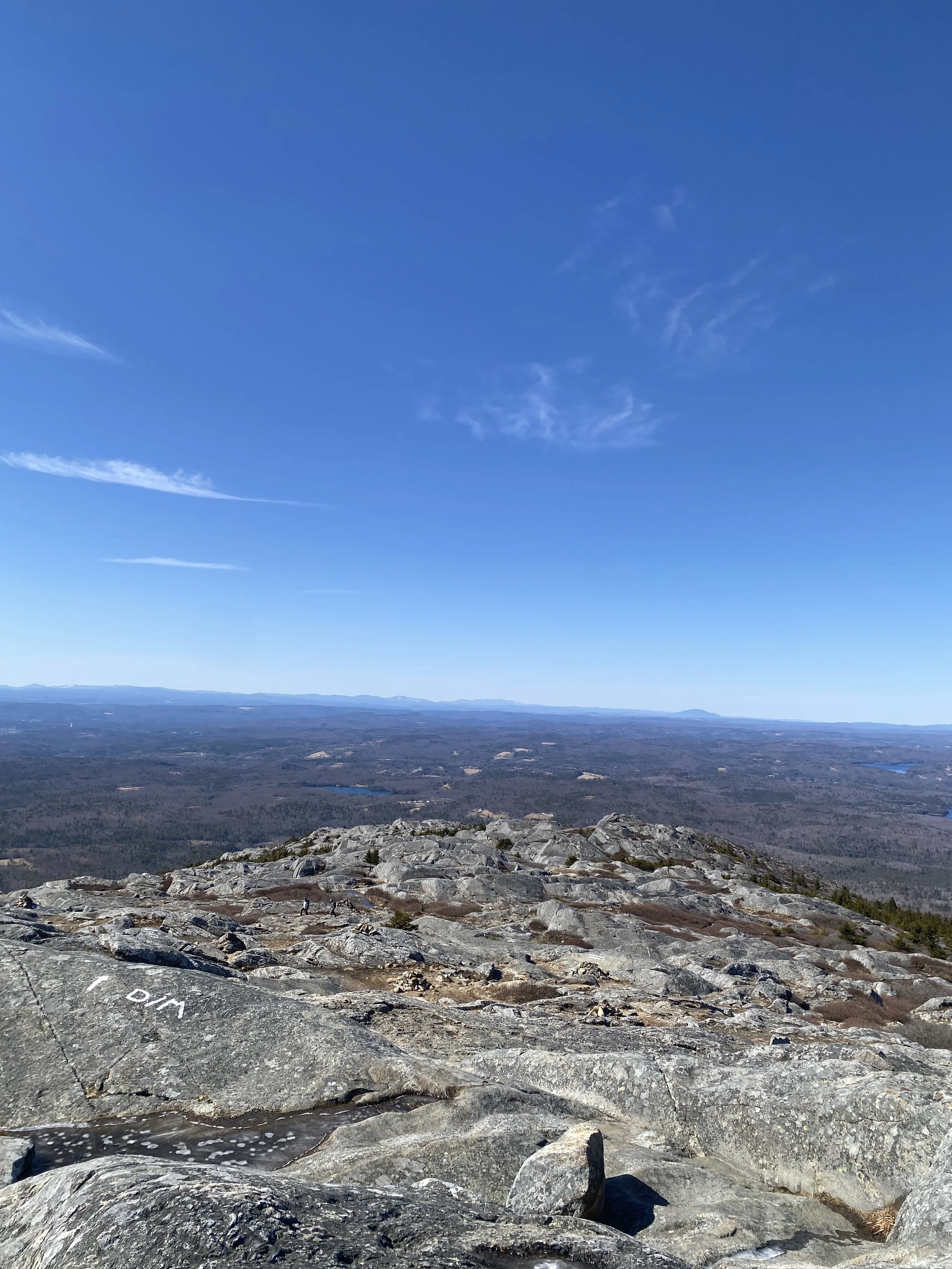
The Pumpelly Trail is one of our favorite trails to hike on Mount Monadnock. It’s a longer winding trail and typically speaking is snow free earlier in the year because it is an east-facing trail. There are sections that have some possibilities of ice, so we recommend carrying microspikes just in case.
The Belknap Loop via multiple trails (see below), Alton, New Hampshire
7.5 Miles
2,200’ Elevation Gain
The Belknap region is one of the best areas to hike during the spring because it loses its snowpack much earlier than in many other sections in the lakes region, north. One of our favorite loops to do in this region starts and ends at the Mount Major parking lot. The loop requires hiking a myriad of trails so it is highly recommended that you download the trail map here. This loop runs over the summits of Mount Major, Straightback, West Quarry, East Quarry, and North Straightback. The *route is as follows: blue trail -> yellow/white trail -> white trail -> yellow trail -> white trail -> green trail -> yellow trail -> blue trail
*The Belknap Range trails have other trail names as well as the color.
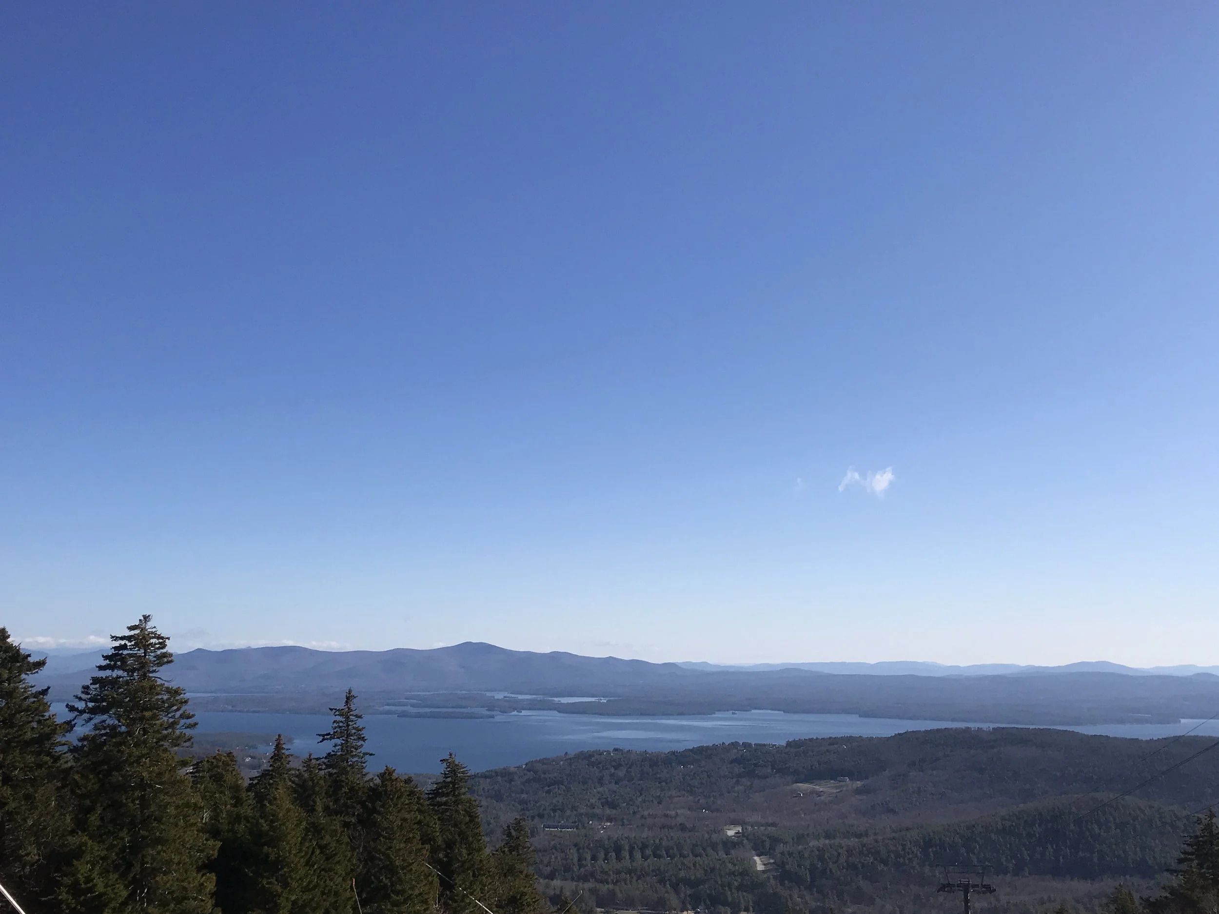
Gunstock, Belknap Mountain Loop via multiple trails (see below), Gilford, New Hampshire
9 Miles
2,500’ Elevation Gain
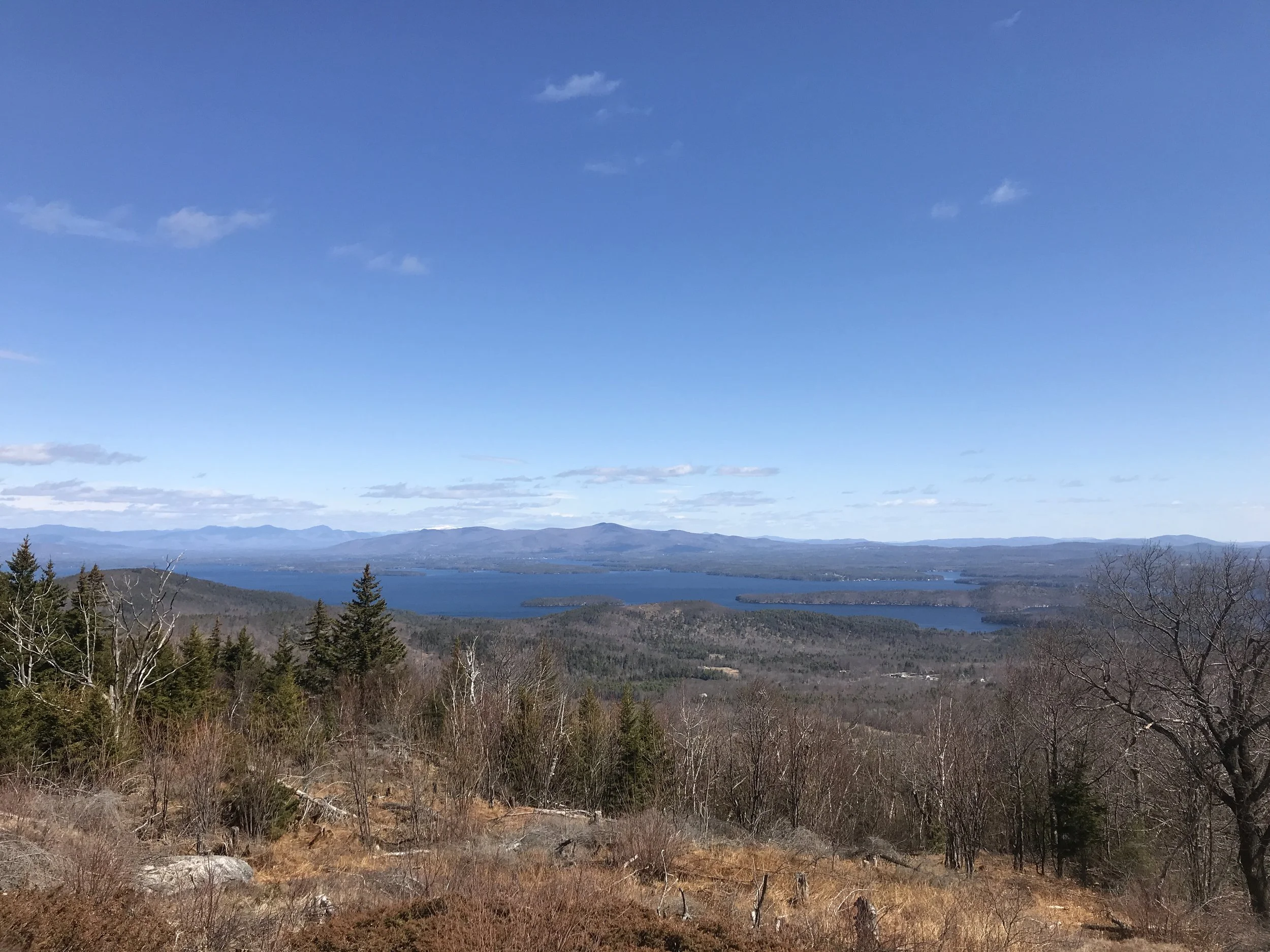
This is an out and back hike that runs from the Gilford Elementary School parking lot to the summit of Belknap Mountain and back. It also hits the summit of Gunstock Mountain. This route requires taking several trails so be sure to download the map here. This route is one of our favorites to hike in this region because the Benjamin Weeks Trail is so stunning and underrated. Be sure to follow the blazes on Benjamin Weeks Trail carefully because a mountain bike trail branches off of this trail at one point. The *route is as follows: Red trail -> blue trail -> light purple trail -> white trail -> orange/white trail -> yellow trail -> white trail -> blue trail
*The Belknap Range trails have other names as well as the color.
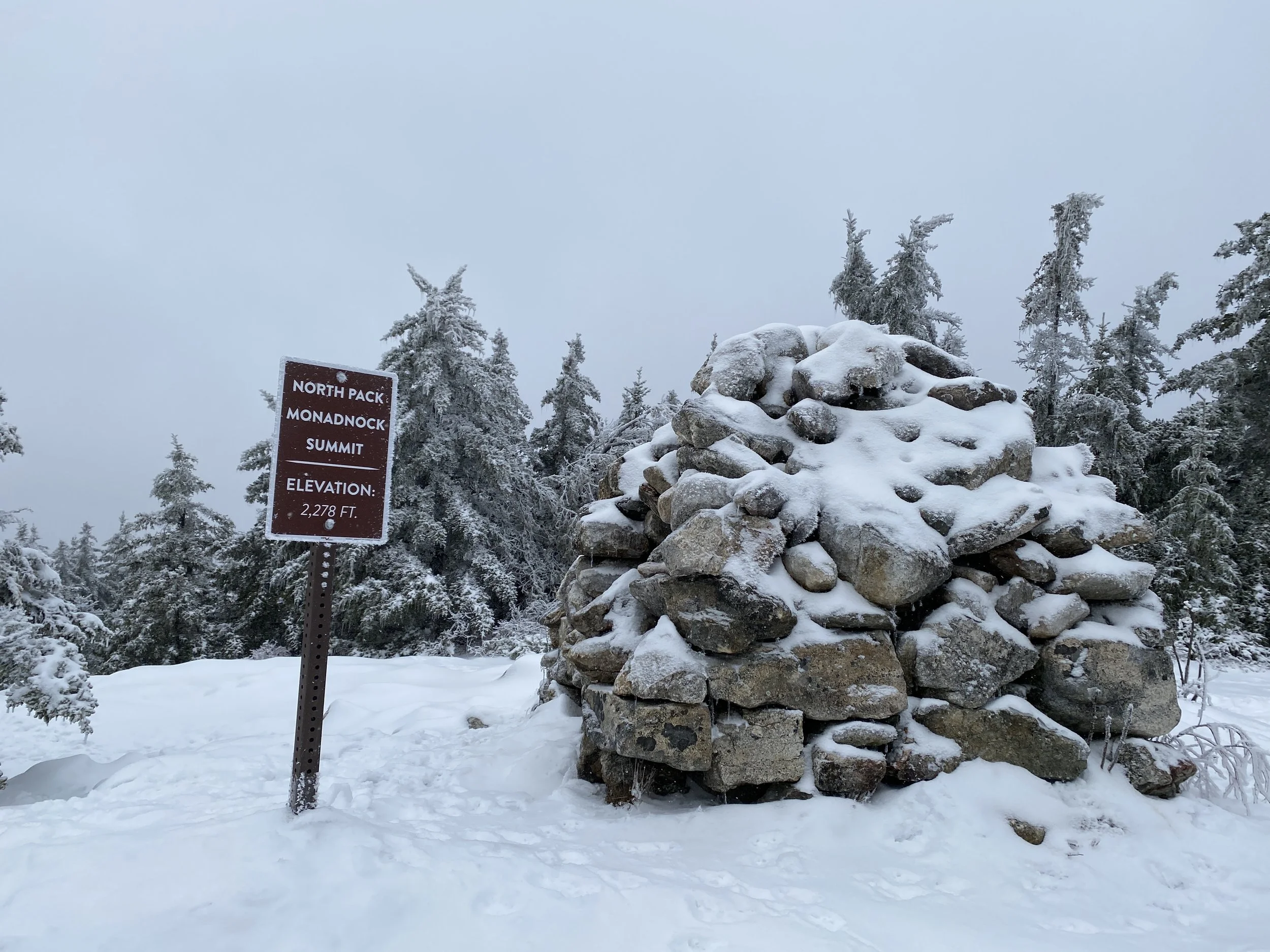
North Pack Monadnock via multiple trails, Greenfield, New Hampshire
7 Miles
1,900’ Elevation Gain
This loop hike takes you along two less traveled trails on North Pack Monadnock. Carolyn’s Trail and Ted’s Trail are on the eastern slopes of this lower elevation mountain and take you past a stunning waterfall, Bonner Falls, as well as getting some nice views from the summit of North Pack Monadnock. We recommend referring to the Appalachian Mountain Club map or Gaia to find these trails. The route is as follows: Ted’s Trail -> Cliff Trail -> Wapack Trail -> Cliff Trail -> Carolyn’s Trail -> Ted’s Trail
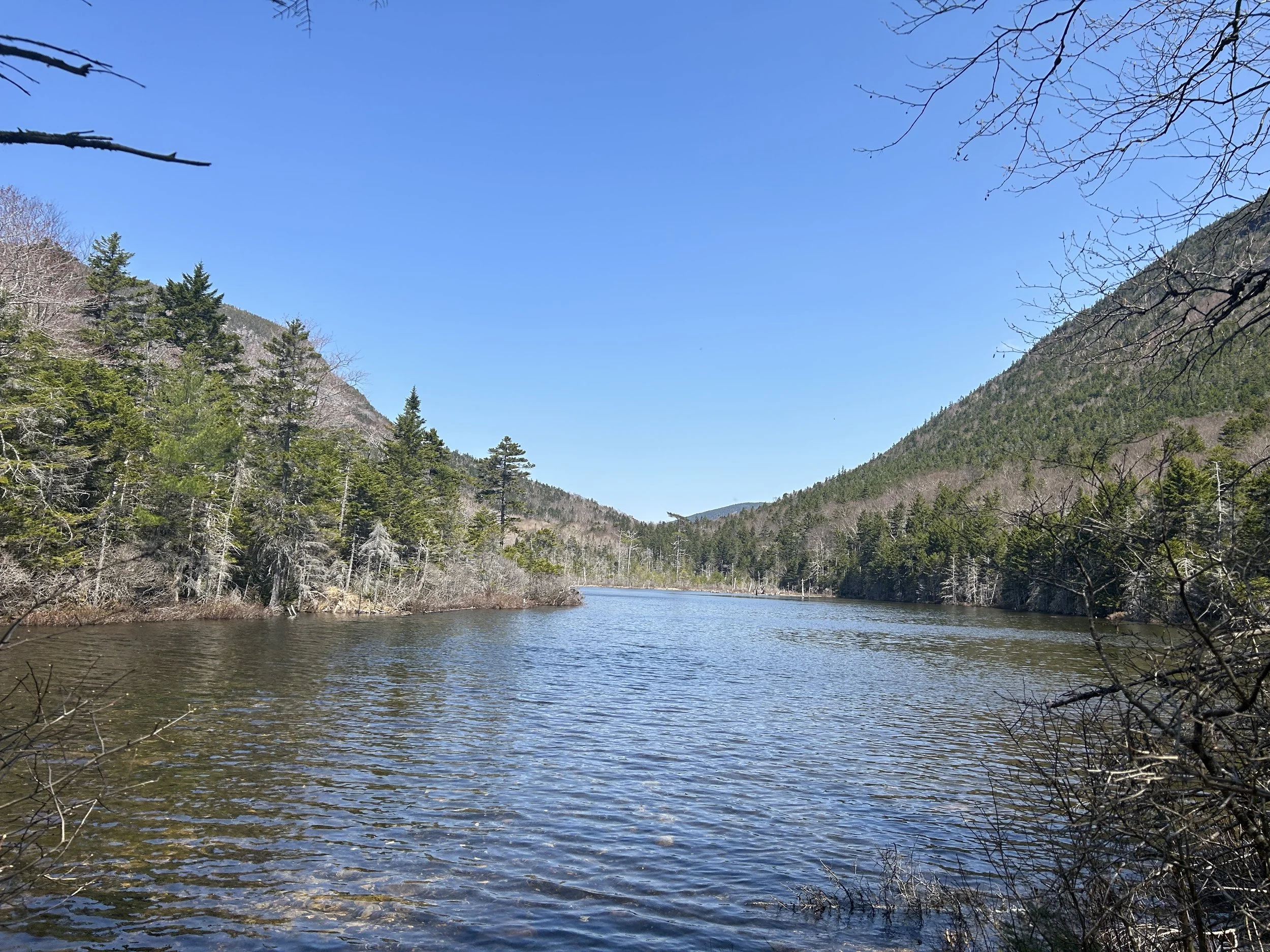
Greeley Ponds via Greeley Ponds Trail, Livermore, New Hampshire
8.5 Miles
1,500’ Elevation Gain
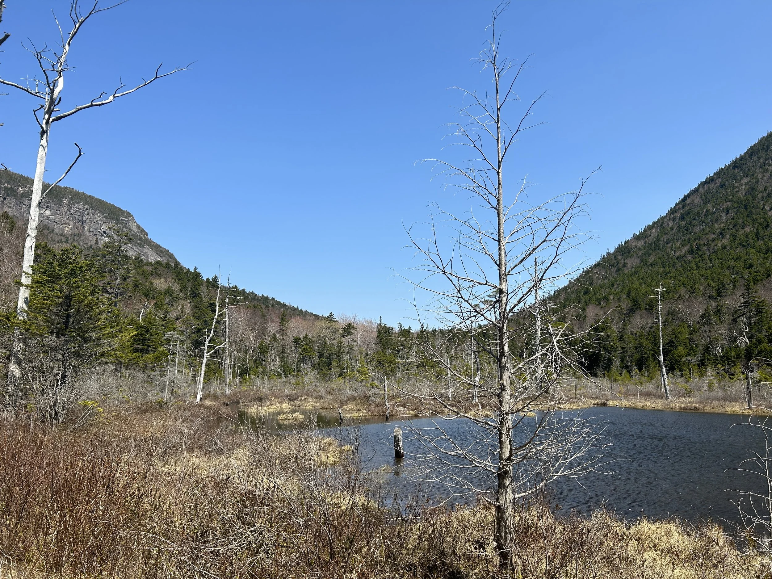
Our final springtime hike under 10 miles is an out and back to Greeley Ponds in Livermore, New Hampshire. Before we get into some of the details about this hike we want to preface it by saying this hike should be done in late spring because it is in an area that will take longer to thaw after winter. This hike leads to two small ponds nestled right in the notch between the Osceolas and Mount Kancamagus. There is an option to tent at the ponds but be sure to only do so in designated areas. This hike can also be completed as a traverse from the Livermore trailhead to the Greeley Ponds trailhead. The Greeley Ponds Scenic Area is a beautiful place to walk in spring when you’re looking for a long walk in the woods but don’t want to endure substantial elevation gain. We recommend carrying the Appalachian Mountain Club’s map or downloading Gaia for navigation on this hike.
What are some of your favorite spring hikes? Comment below!
