Spring Hikes over 10 Miles in New Hampshire
Spring is here and we are more than excited about sharing some of our favorite places to hike during one of the most difficult times of year to hit the trails. Between the mud and the deteriorating monorail, spring can be a trying time to get outside at higher elevations. But have no fear, we compiled a list of 5 of the best hikes to do during the springtime where you won’t be dealing with treacherous trail conditions.
While this is by no means a comprehensive list of all the hikes you could do in spring over 10 miles, it’s a great place to start. With five individual routes all over 10 miles, we’ve got some great recommendations to get your trail legs in prime shape for the summer hiking season. The only way to get in hiker shape is to hike and although it can be difficult to hit bigger miles in the springtime, we’ve found some fantastic long hikes that can be done during one of the hardest seasons to hike in. So without further ado, let’s get into the recommendations!
For all of these hikes we recommend using the Appalachian Mountain Club’s guidebooks (White Mountain National Forest and Southern New Hampshire) to read about the trails prior to setting out. Another helpful and reliable online tool for navigation is Gaia GPS which is a free app you can use to build routes, record hikes, and review the hikes we have outlined in this post.
Spring Hikes Over 10 Miles
The Wapack Trail, Greenfield, New Hampshire
21 Miles
5,000’ Elevation
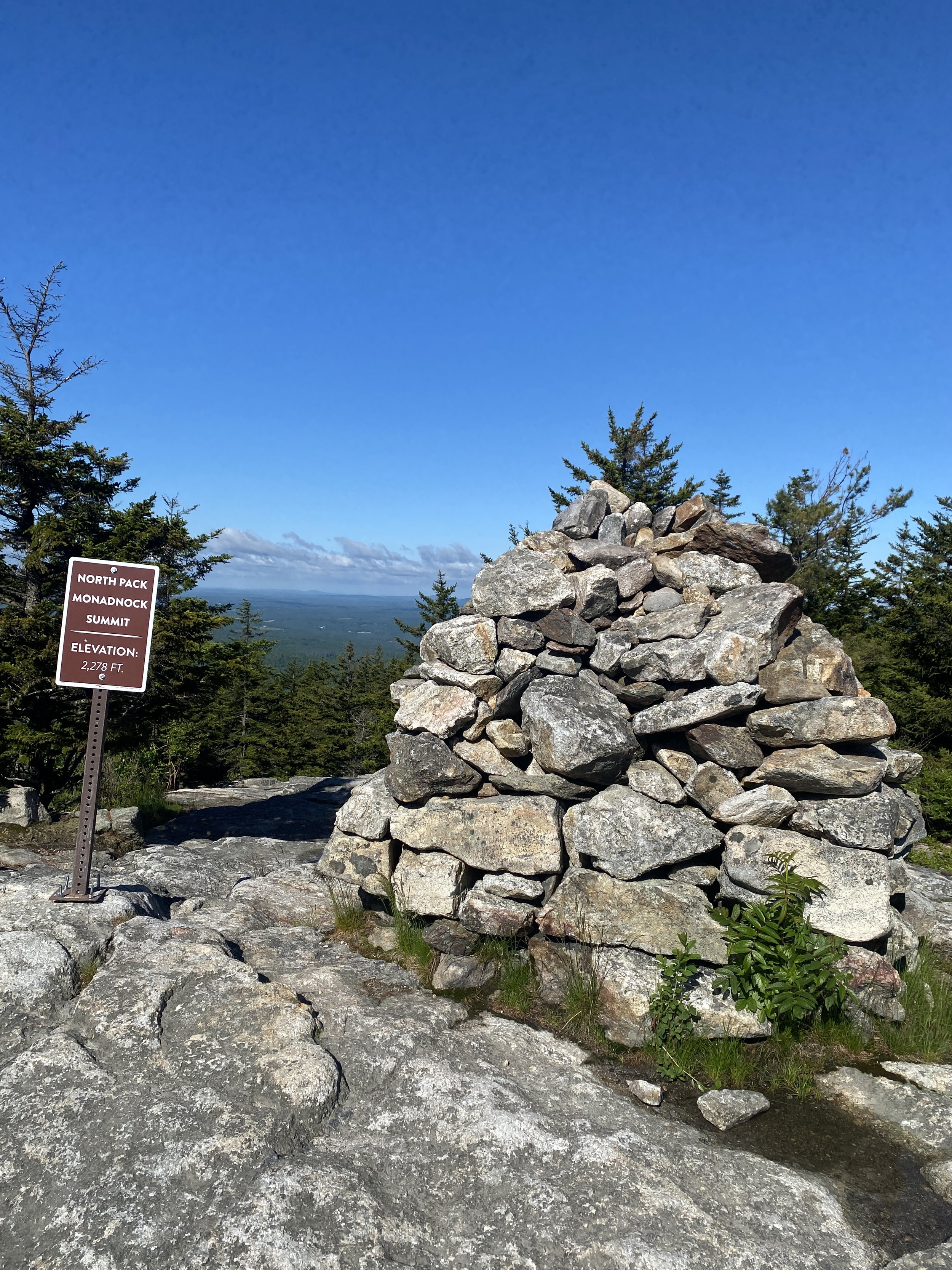
Starting with one of our favorite hikes to do in springtime, the Wapack Trail packs a punch at over 20 miles and gaining over 5,000’ of elevation, this hike runs from North Pack Monadnock in Greenfield, New Hampshire to Mount Watatic in Massachusetts. There are several features that are worth noting about this hike and we’ve written an entire trail guide on it which can be found here.
The Belknap Range Traverse, Alton, New Hampshire
11 Miles
3,500’ Elevation
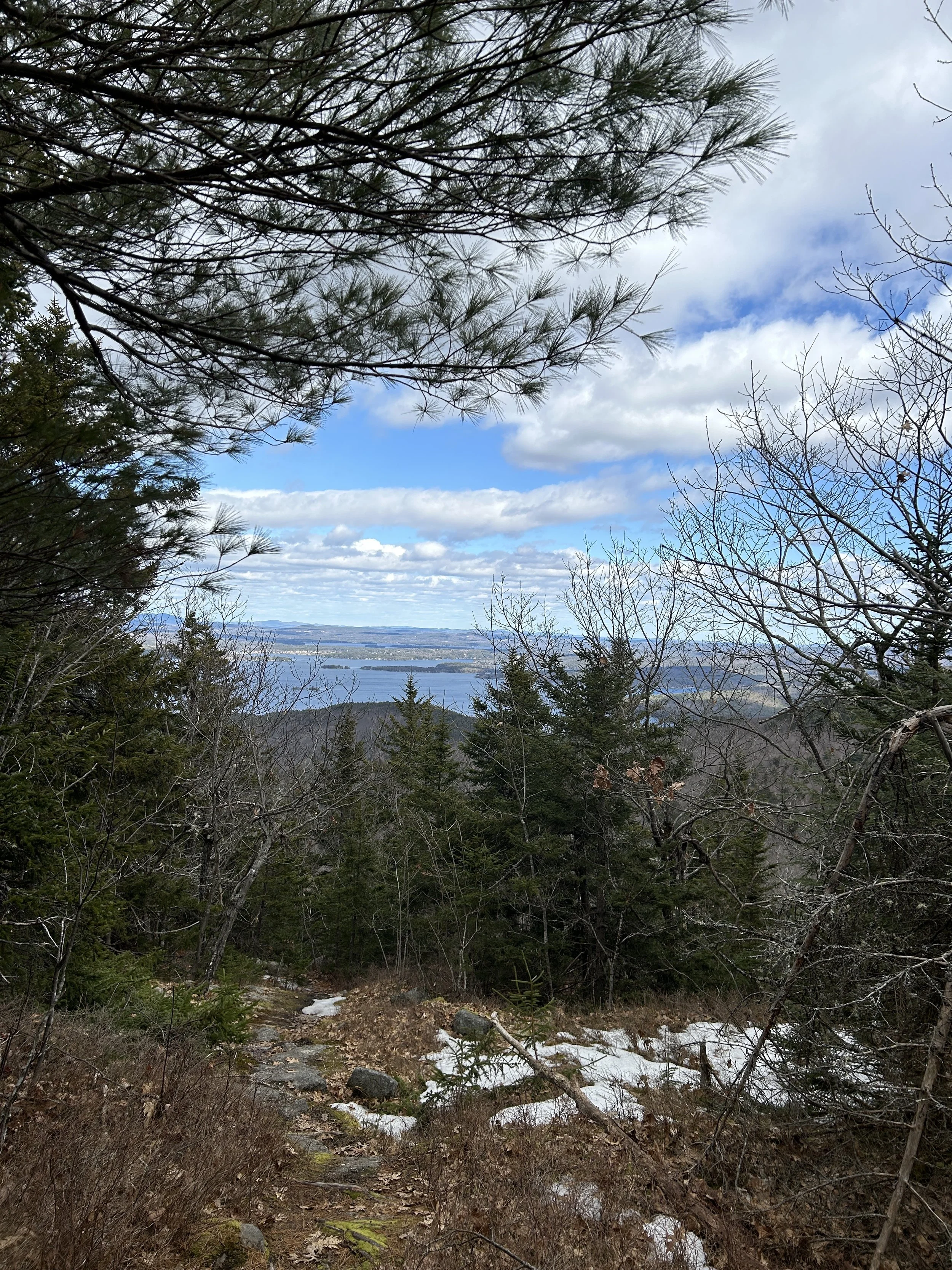
This popular traverse runs over the major summits in the Belknap Range located in the lakes region of New Hampshire. At only 12 miles, don’t underestimate this hike. You will be ascending and descending seven peaks and gaining over 3,400’ of elevation. Furthermore, this hike has some wonderfully New England-like rock scrambles on Belknap Mountain and Mount Anna that are perfect preparation for the trails in the White Mountains. For more elevation gain, hike this route from Mount Major to Mount Rowe. Be sure to refer to the trail map located here and for additional information check out the southern New Hampshire guidebook here.
The Metacomet-Monadnock Trail, Jaffrey, New Hampshire
20 Miles
5,000’ Elevation Gain
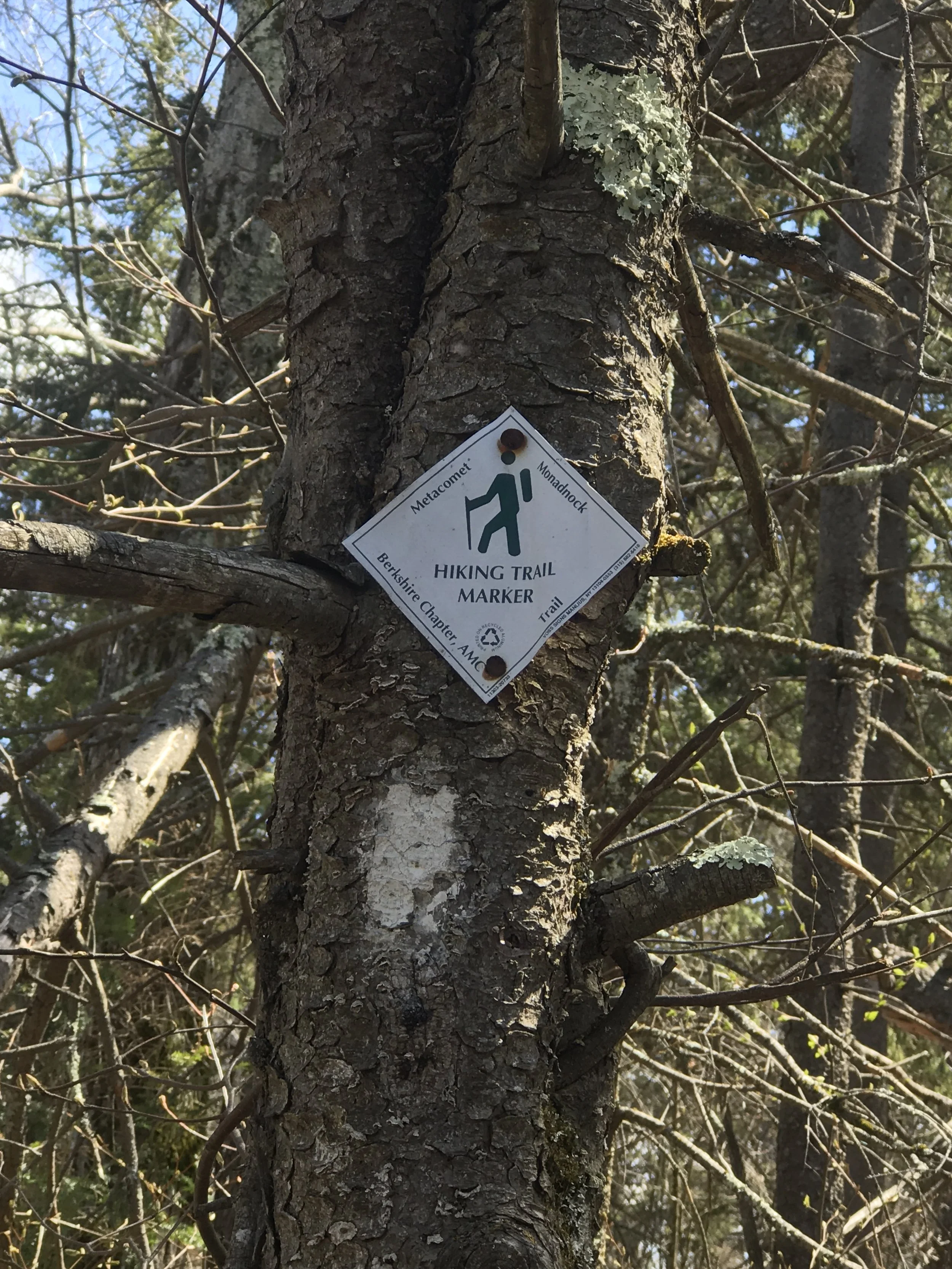
The Metacomet-Monadnock Trail runs from the Massachusetts border to the summit of Mount Monadnock in Jaffrey, New Hampshire. Elevation gain on this traverse is given for a south to north hike ending on the summit of Mount Monadnock. An additional 2 miles of hiking is required to get back to the trailhead so although the total mileage according to the official website reads 18 miles, that is not including the approach trail. Further information on this wonderfully underestimated and lesser known trail can be found here.
The Belknap Loop via Multiple Trails, Alton, New Hampshire
11.50 Miles
3,400’ Elevation Gain
This loop hike in the Belknap Mountains is one of our favorite hikes to do to train for summer. While the elevation of each individual peak on this loop is minimal compared to the peaks in the White Mountains, when you’re summitting nine peaks the elevation is going to add up. By the time you’re done the loop, the elevation total will read over 3,400’, nothing to scoff at for a hike under 12 miles in length. The trails taken to complete this loop are as follows: Blue Trail -> Blue/Yellow Trail -> Blue Trail -> Red Trail -> White Trail -> Green Trail -> Yellow Trail -> Blue Trail. This loop starts and ends in the Mount Major parking lot. A map for this region is found here.
*The Belknap Range trails have other trail names as well as the color.
The Tully Loop Trail, Royalston, Massachusetts
22 Miles
3,900’ Elevation Gain
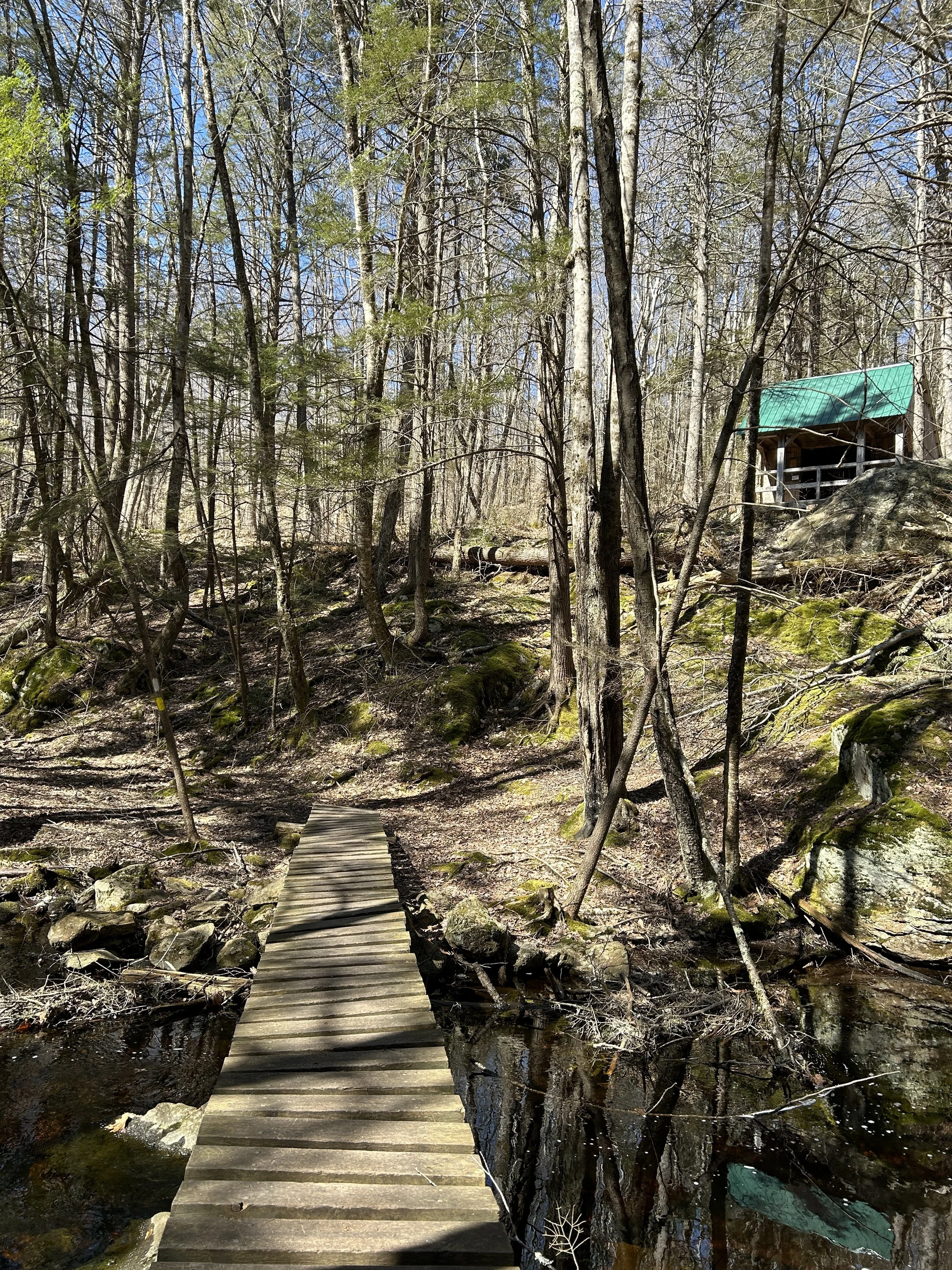
This final hike is not located in New Hampshire however it is on the border and can be connected with the Metacomet-Monadnock Trail which we referenced earlier. This loop hike is 22 miles long and over 3,900’ of elevation. What we love most about this loop hike is the option to backpack it. The Tully Trail coincides with the New England Trail for a short stretch and there is the option to stay at the beautifully maintained Falls Brook Shelter if you so choose. There is some road walking on this trail, however the vast majority of the trail is single track and well maintained making it the perfect hike to do for an overnight if you’re looking to test out some new backpacking gear this spring. The trail map and information about the trail is located here.
What are some of your favorite spring hikes? Comment below!
